

◊
Yorkshire is famous for many things, but walking and hiking is an absolute highlight. After over a decade of living here, we thought we’d finally collate our favourite walks in Yorkshire!
These are moderate, half/day hikes that can be done by people of most fitness levels; hopefully you can find something that appeals to you! There’s nothing better to do in Yorkshire than take a walk then follow up with the local beer afterwards/during (maybe I’ll write a guide on the best beers one day too).
◊
This post may contain affiliate links. If you book through these links we may make a small commission at zero cost to you. It helps us pay for the upkeep of this blog. Thank you!
WALKS IN YORKSHIRE – ILKLEY MOOR
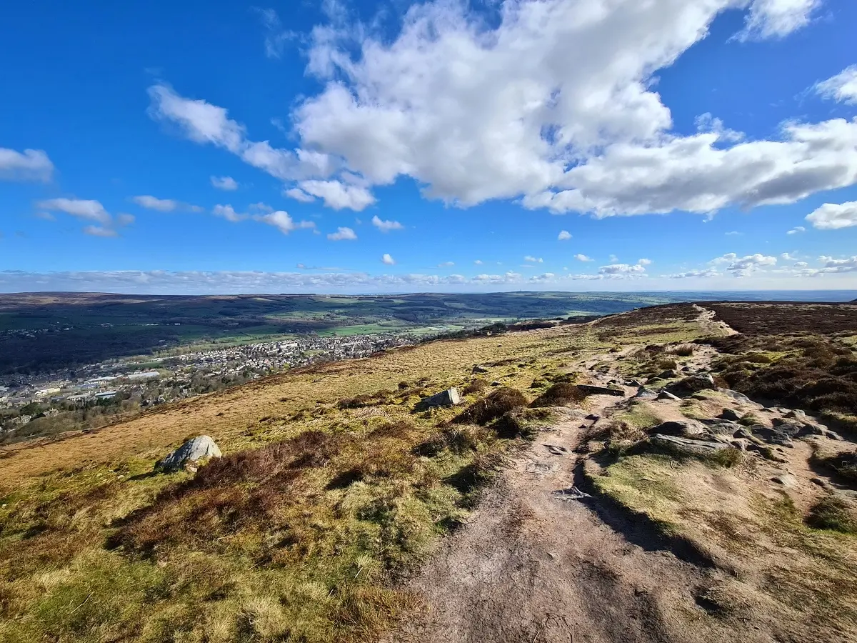
When it comes to walks in Yorkshire, we love this place – it’s our local favourite! The terrain is so sparse and dramatic. We have visited here in all seasons and Ilkley Moor is such a fantastic place to wander about no matter the weather. It is rarely busy on the moor itself and there’s plenty of wildlife around (like grouse and other ground nesting birds).
The easiest place to start is at the Cow and Calf rocks area (there is easy roadside parking) and walk up past the quarry where people sometimes climb. Heading steeply uphill, you can get a view of Ilkley town below before making your way around to the Twelve Apostles, then looping back to the start via Grub stones and back to the Cow and Calf Pub for a mildly well-deserved drink. All these landmarks can be seen on Google Maps and routes are easy to make out.


LOGISTICS
Parking and transport | free parking is available along the road. The best spots occasionally fill up in the morning on a sunny weekend. LS29 8BT is the postcode for the Cow and Calf so head there and look nearby. The moor can also be reached by train (Ilkley or Burley-in-Wharfedale station). Many public buses also run to Ilkley town centre where it is a steep uphill (but easy) walk to the moor.
Facilities | climbing, toilet facilities at The Cow and Calf pub with the Cow and Calf Café also offering refreshments.
Cost: no cost
Difficulty | moderate. Some steep ascents and uneven footing. The paving stones can be slippery when wet and there are small streams that need to be crossed depending on the route you take.
Length | a full loop can be up to around 5-7 miles (3 to 4 hours). There’s plenty of shorter options too.

HAWORTH, BRONTE FALLS AND TOP WITHENS
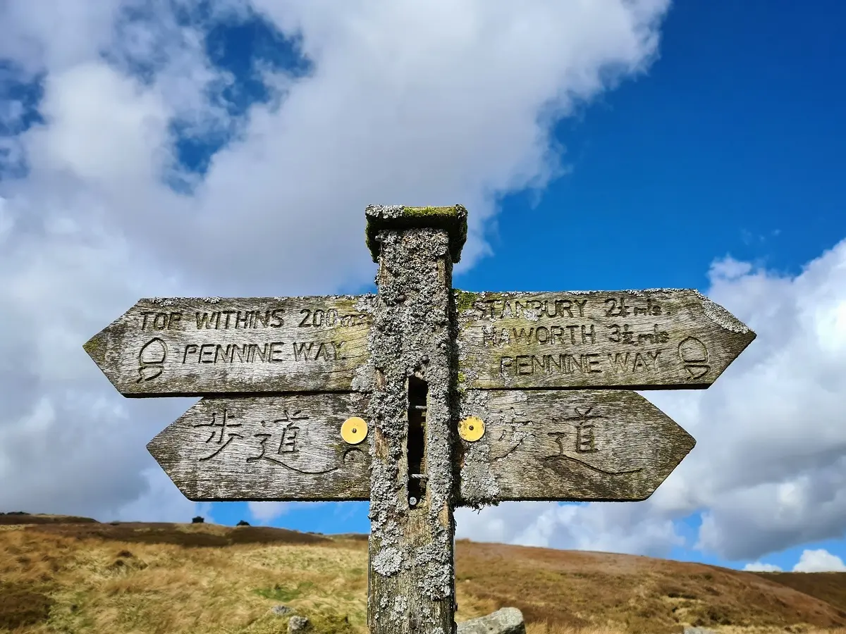
This Yorkshire walk starts in the village of Haworth (worth a visit in its own right – oozing quintessential English village charm). With rolling countryside around, there’s plenty of views along with the more famous waterfall and house that inspired locations in the book Wuthering Heights. On weekends they occasionally have a ‘fun run’ on this route which makes it busier than normal (honestly, we just can’t get behind the idea of running uphill for fun).
The walk itself takes you upwards into the hills with a view of Lower Laithe Reservoir as you make your way up to Bronte Bridge and the Bronte Falls. At this point you can circle back, or continue the trek up to Top Withens before an easy amble back down via Lower Lithe Reservoir back to the village. It is well signed, plus easy to route on Google Maps.


LOGISTICS
Parking and Transport | free parking available in Haworth Village. Nearest car park for the walk is the Bronte Parsonage Museum car park, postcode BD22 8DU, which costs £5 for the whole day. Trains run regularly to Haworth train station from major nearby towns.
Facilities | bathrooms available in pubs and restaurants of Haworth, food and refreshments available at the local shops and cafés.
Cost | free entry.
Difficulty | moderate. Some uneven footing, muddy in places and some steep hills. Also some super-loud sheep and easy to climb ladders over walls.
Length | about 7 miles (3-4 hours) to Top Withens via The Bronte Falls from the end of Haworth. Longer if you start like we have done at the bottom of the village on Belle Isle Road (good option if you want to wander around the village as part of your walk).

BOLTON ABBEY AND THE STRID REGION
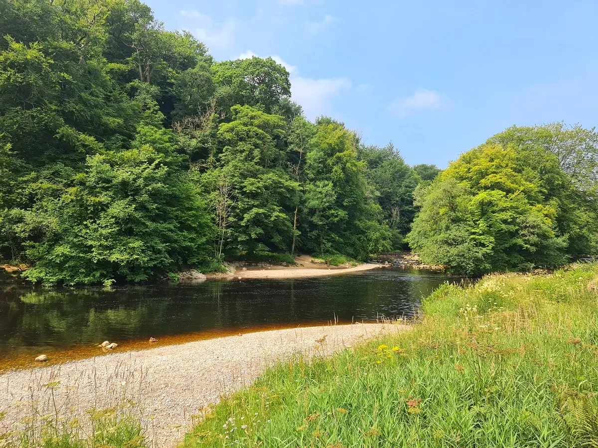
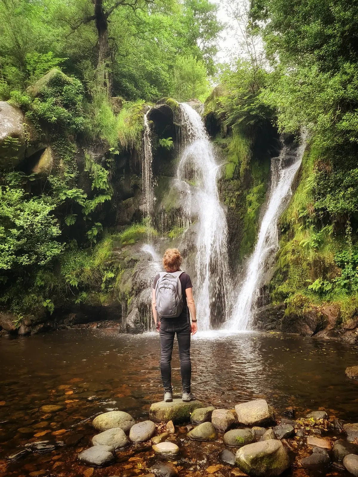
This is a surprisingly good Yorkshire walk. Bolton Abbey itself is the most well-known tourist attraction in the area, however the surrounding region is the highlight. There are loads of routes, ranging from a couple of miles to over ten. We’ve walked further than ten before, aided by some accidental detours – some areas are not so well signed. Arrive at opening time on a sunny day and you will avoid the crowds and have the place and the sleeping ducks on the riverside pretty much to yourself.
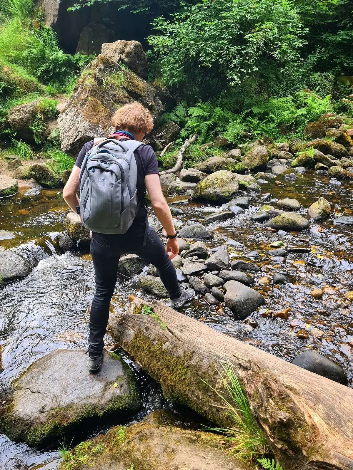
There are options to have an easy, flat walk down to Strid Wood and along the River Wharfe, or climb up to the Valley of Desolation where there is a hidden waterfall. The further away you go from the abbey, the more sparse and wild the terrain gets; consider hiking up to Simon’s Seat for some amazing views. Once, we got really lost and found an entire dead sheep with no stomach – there are places out there not many people go.
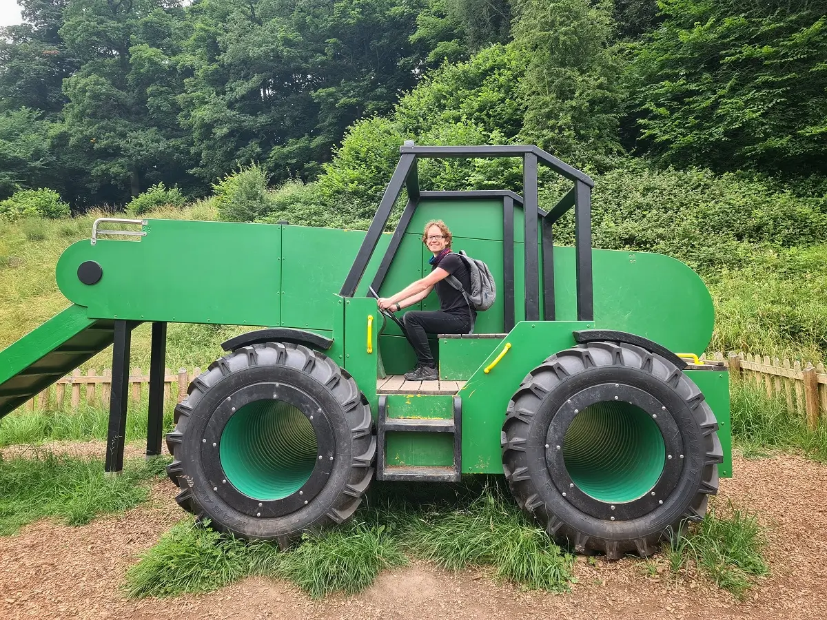
There’s a great route near the Abbey for kids with all sorts of activities and if you wander further afield, you’ll find small rivers with moss strewn rocks that make me think of fairy tales. Large maps all along the river help direct you to where you want to go. Just north of Bolton Abbey is Grassington, on of our favourite Yorkshire Dales towns.
LOGISTICS
Parking | £10.00 for the day which covers up to 7 people in the car. Bolton Abbey is located on the B6160 coming from the A59 between Skipton and Harrogate. Use postcode BD23 6EX to get you there.
Facilities | bathroom facilities available at the Abbey car park and the café.
Cost | technically free to enter but you’ve got to pay for parking.
Difficulty | easy/moderate if you don’t go off track. Paths are good and accessible for the most part. Moderate/Hard if you do go off track. The tiny waterfall requires some scrambling and the land outside the Abbey’s grounds is overgrown and uneven.
Length | 8 miles (4 to 4.5 hours) if you go up to Barden Bridge for a circular route. You can do shorter walks if you want to enjoy a picnic by the river, or there’s the option to walk all the way to Simon’s Seat if you’re into longer hikes.
SETTLE
I love market towns as the beginning for walks in Yorkshire, and Settle is no exception. There’s a bunch of options for routes here, but we recommend going east from the market square and up the steep hill. From here you can look back over Settle and Giggleswick further afield. It is a lovely grass filled walk with great views and plenty of places to stop off and explore. We have never found this area to be busy which is another reason why it has made our top walks list.
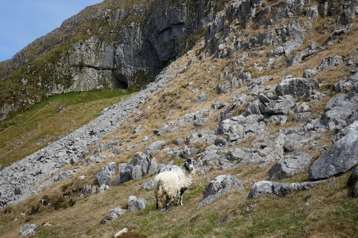
The knolls at Warrendale Knotts are a towering presence at the beginning of the hike and Victoria Cave and Jubilee cave are worth a look, even if just from the entrance. There are scars (exposed limestone cliffs), with sheep precariously perched on their edges. This is a truly excellent area for walking. Don’t forget to buy some bread and cheese at the market afterwards.
LOGISTICS
Parking and Transport | pay parking available at the carpark next to Co-op, BD24 9EF. Settle has a well connected train station.
Facilities | free public bathroom facilities available at the Co-op car park. Food and drink available all around the town, as well as the market if you arrive on the right day.
Cost | free.
Difficulty | moderate but you do start with a steep uphill climb. Some uneven ground underfoot and a few areas can be a bit bog-like after wetter weather.
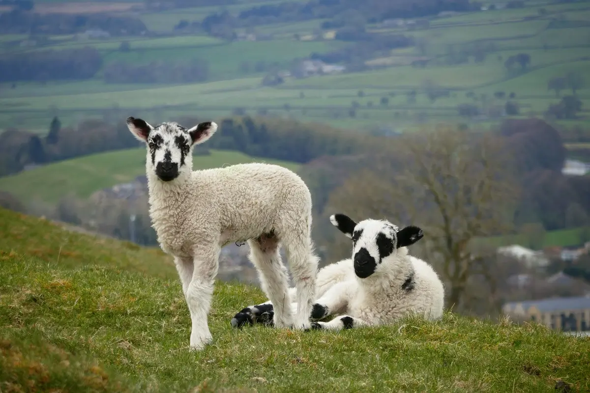
Length | 4-5 miles or longer depending on your chosen route (2 to 3 hours plus) depending on how long you stay taking pictures of sheep in the fields.
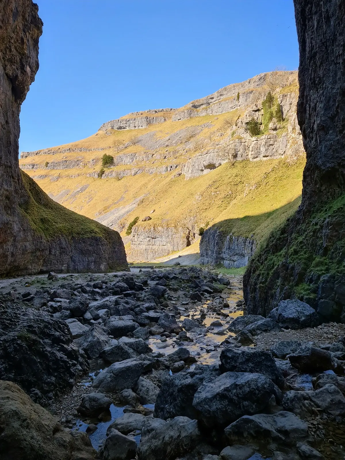
MALHAM COVE, JANET’S FOSS AND GORDALE SCAR
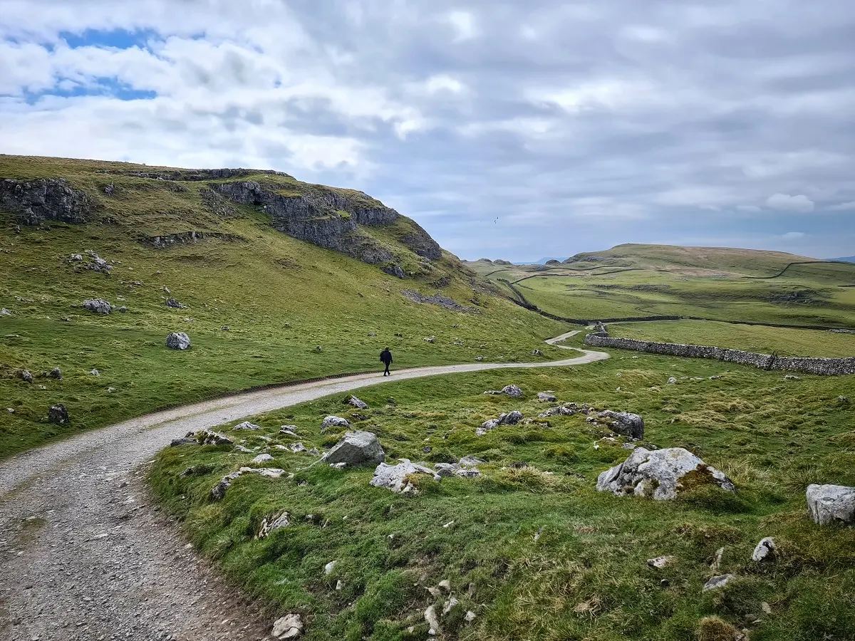
This is probably the most varied of the walks in Yorkshire in terms of scenery and also one of the most popular.
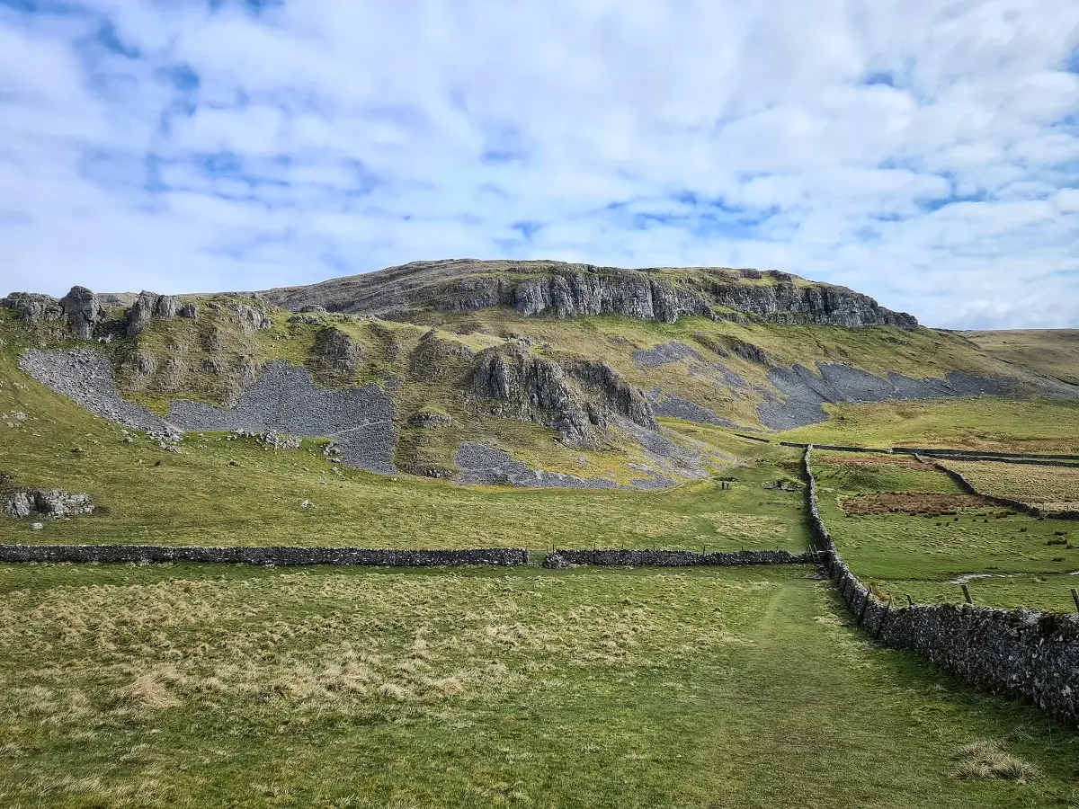
Malham Cove is a pretty well-known landmark so you’ll always find a few people congregating there (along with climbers). However Janet’s Foss – a waterfall in a fairy tale like grove, and Gordale Scar – believed to be the inspiration for Helm’s Deep in Lord of the Rings – are never as busy.
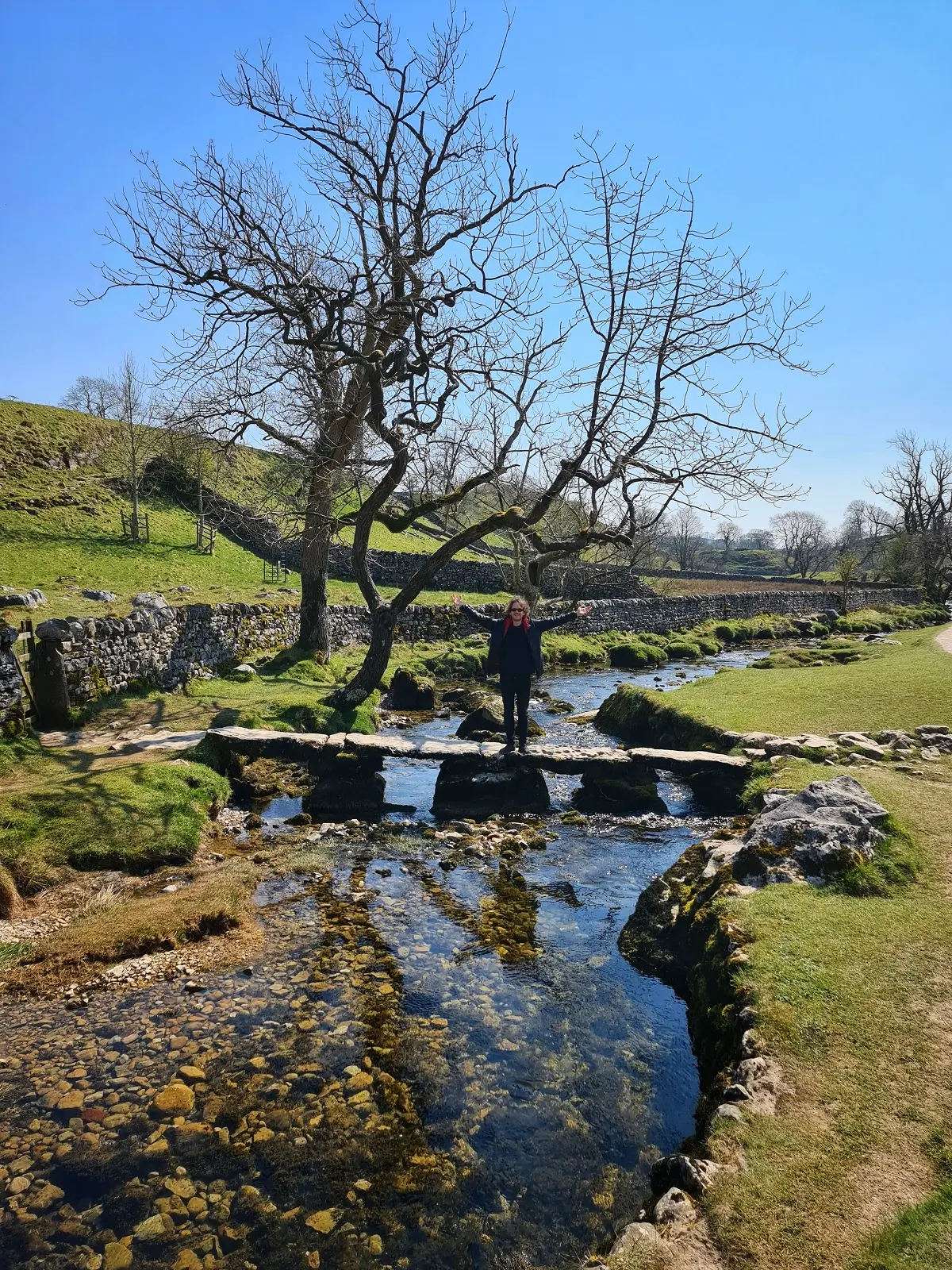
This walk begins at the visitor centre. Pop in and pick up a map if you’d like one. It is a flat, pleasant wander along Malham Beck through meadowland before entering the fairytale woods to find Janet’s Foss.
Onwards to Gordale Scar, play a game of ‘spot the camouflaged sheep on the rocks’ and check out the waterfall. Depending on the water flow, I am reliably informed that it is possible to climb up without gear, but this has never been the case when we have visited. Malham Tarn, a lake at the top of the hike, is a great spot to stop for lunch.
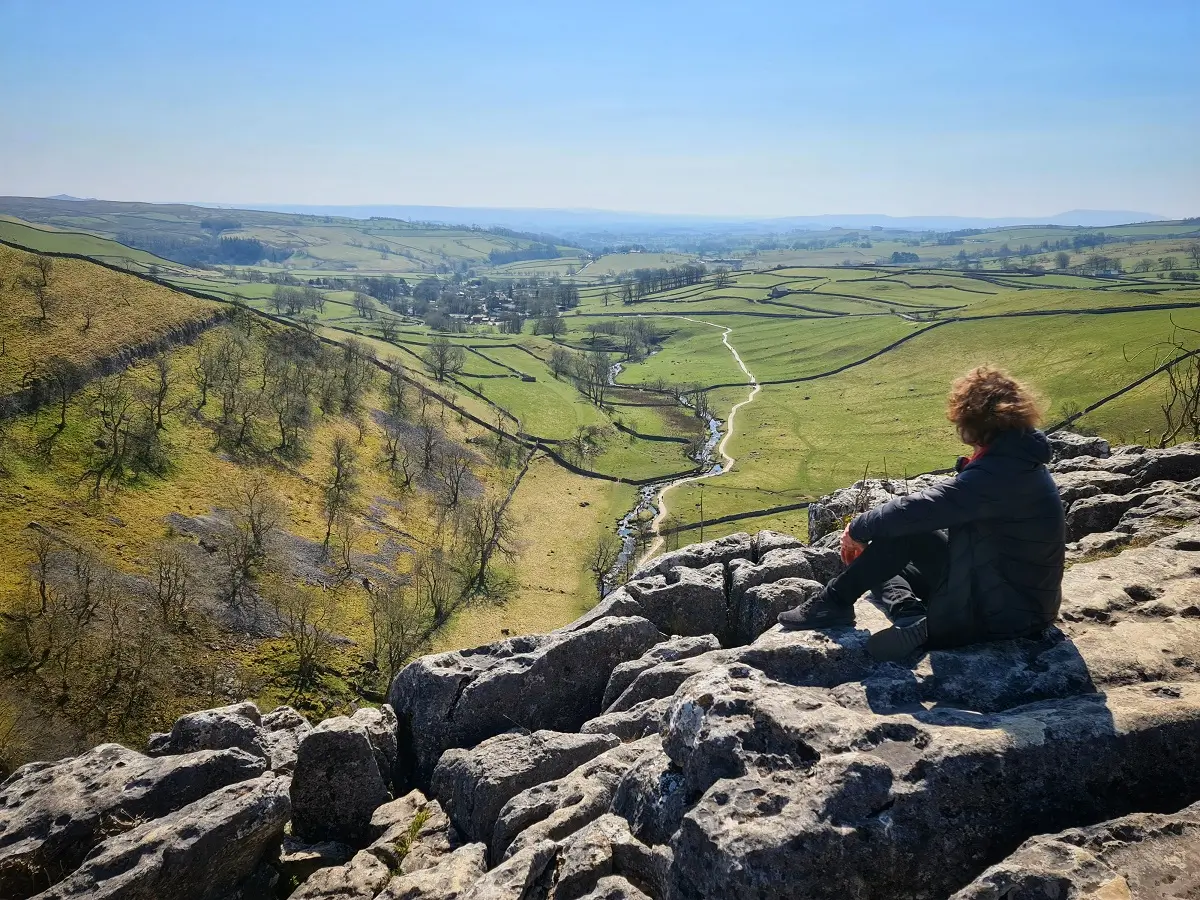
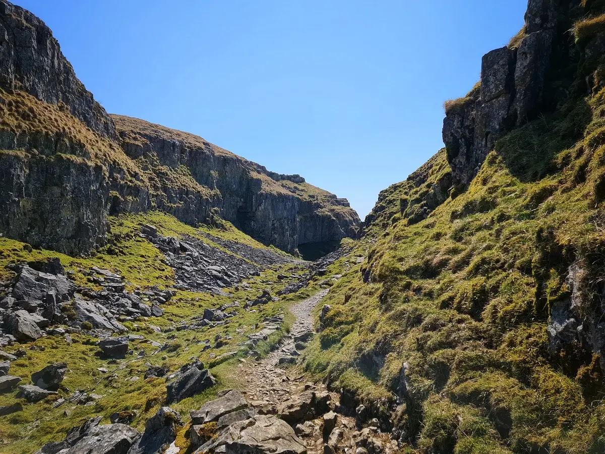
The best part of the hike is Dry Valley, a limestone canyon, and the descent onto Malham Cove’s top with its strange rock formations (where a scene in Harry Potter was filmed). It’s all scrambly, we never see other people there and it’s just really beautiful.
The steps down from Malham Cove are quite steep and long so take care on the 230 foot or so descent. It is hazardous in the rain. Malham Cove itself is super-striking – admire the climbers before making your way back to the start (perhaps via the ice cream shop, café or pub).
LOGISTICS
Parking | £2.70 for 2 hours, £4.80 for over 2 hours. There was overflow parking on the road out of Malham which ask for donations.
Facilities | bathroom facilities are available at the main car park and at the pubs in the village.
Cost | free entry.
Difficulty | moderate. There are some very steep climbs, some rugged terrain and uneven pathways. Malham Cove can be particularly dangerous on the steps down and could be difficult for people with physical disabilities.
Length | 7.5 miles. 3-4 hours. If you only want to visit Malham Cove from the bottom, this could be done in a hour.
THE YORKSHIRE THREE PEAKS
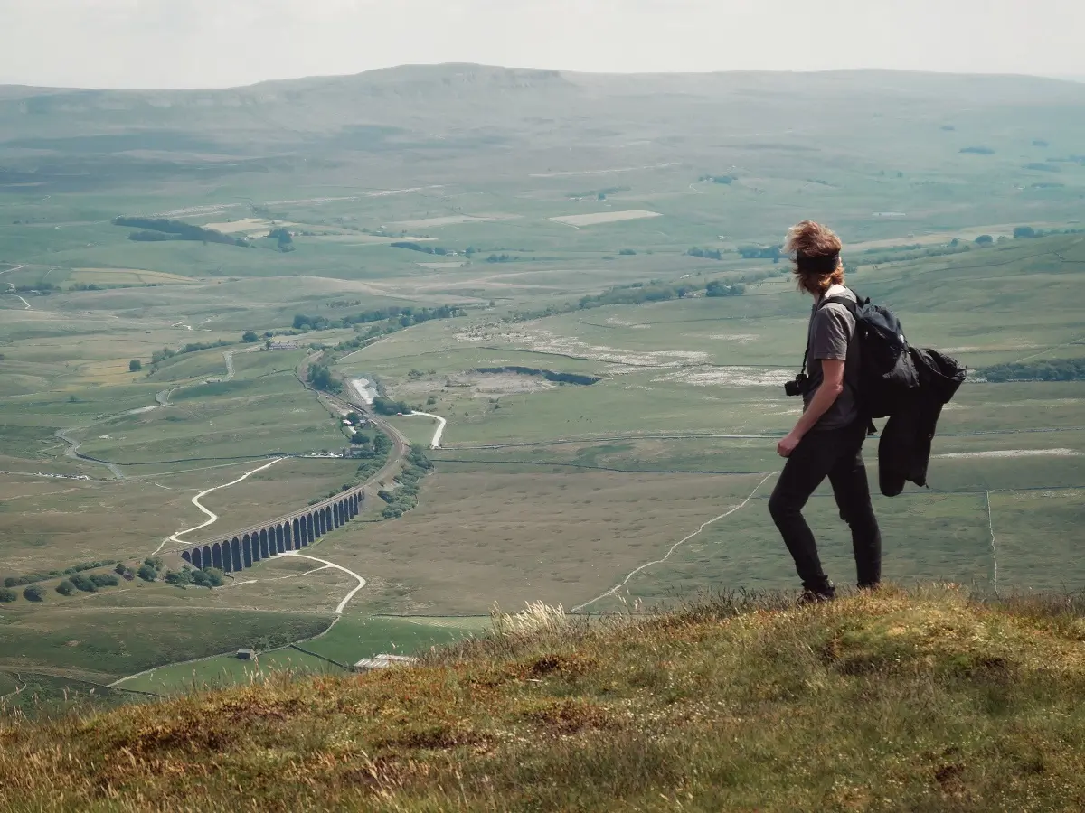
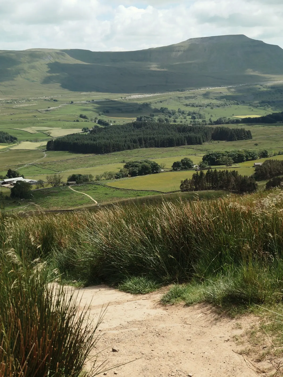
No ‘walks in Yorkshire’ list is complete without the three peaks: Whernside, Ingleborough and Pen-y-ghent. These are the highest points in Yorkshire, all within walking distance of each other in the Yorkshire Dales.
They can be completed together as one 24 mile loop, or individually depending on the type of challenge you are up for. The tallest peak, Whernside, has an elevation of 736 metres (2415 feet) so there’s no altitude to worry about here (they are not real mountains, although some Yorkshire folk will disagree with me!).
The routes are very well marked and signed, so although the advice is to take a map, you really don’t need one. Also, the Three Peaks Challenge (walking all the peaks in a day) is quite a popular activity so you’ll rarely be alone on a day with decent weather. There’s not really much of a chance of getting lost. Saying that, I’d avoid inclement weather because fog on the top of the peaks can absolutely mess with your sense of direction.
There are many routes for all three peaks, so the below is just a guideline.
A quick summary of the hills:
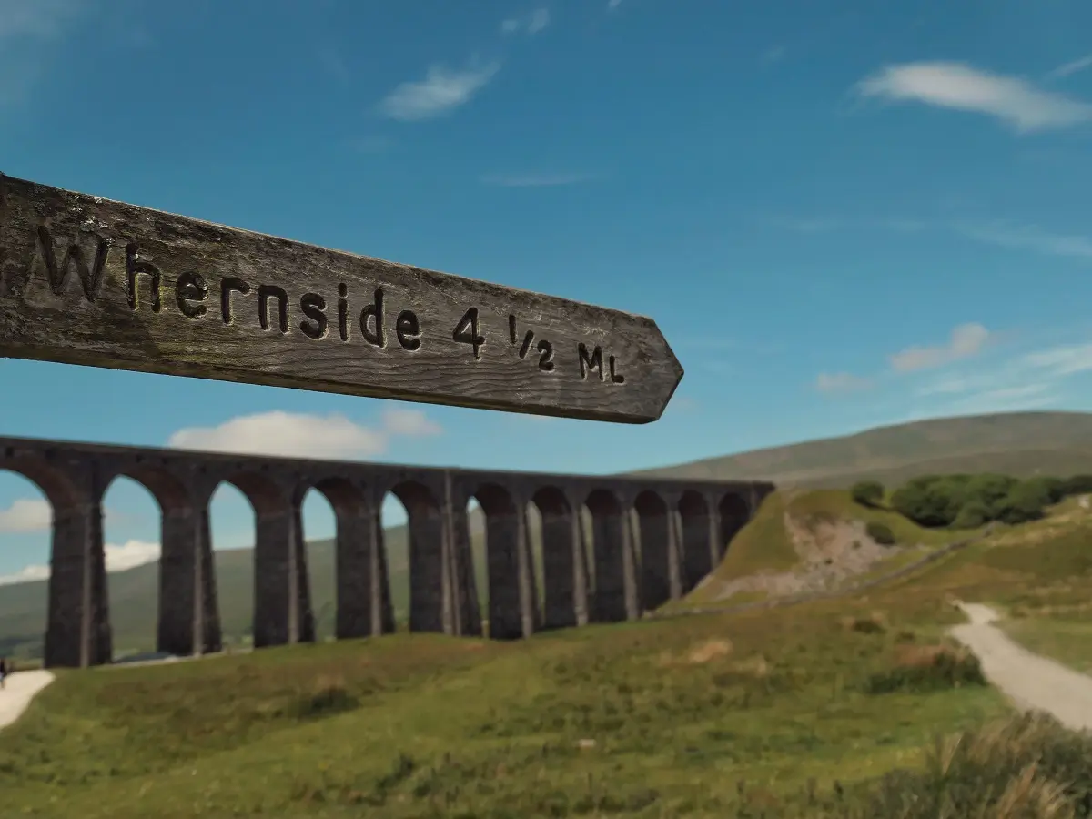
WHERNSIDE: 736m elevation, 8.5 miles round trip, starting point: Ribblehead Viaduct, 3.5-4 hours
INGLEBOROUGH: 725m elevation, 7-10 miles round trip, most popular starting point: Ingleton or Clapham, 3-4.5 hours
PEN-Y-GHENT: 694m elevation, 6 miles round trip, most popular starting point: Horton, 2.5-3 hours
LOGISTICS
Parking | free roadside parking is available for all hikes.
Facilities | all hikes have pubs nearby the trailheads. There are bathrooms in Clapham National Park Car Park, plus in the villages of Horton-in-Ribblehead and Ingleton.
Cost | free entry.
Difficulty | moderate-hard. As walks in Yorkshire go, these peaks are significantly more difficult than the typical hill walk and even more so if you link the three together! Individually, they are a decent consistent hill walk. Whernside and Pen-y-ghent are slightly easier than Ingleborough just due to terrain (in my opinion).
Length | 6-10 miles, 3-5 hours as mentioned individually above.
THE COUNTRYSIDE CODE FOR WALKS IN YORKSHIRE
Walks in Yorkshire often involve crossing farmland and other working environments with livestock. There are certain rules to follow when hiking in Yorkshire, especially in the dales.
Respect others, protect the natural environment and enjoy the outdoors responsibly by leaving no trace, keeping dogs under control, leaving gates and property as you found them and using existing paths. Plan ahead, use the correct equipment/gear and avoid livestock where possible.
Here is a full rundown of the countryside code from the Yorkshire Dales National Park.
FINAL THOUGHTS – WALKS IN YORKSHIRE
This list comprises what we consider to be the ‘can’t miss’ top walks in Yorkshire. They pack the most stuff into their short(ish) lengths; all with those classic Yorkshire vibes (and pubs). If you are considering planning a trip ‘up north’ to Yorkshire, consider checking out our Yorkshire trip planning post too.
Have a great day!
Hi, thanks for visiting our blog! If this post has been of help to you, or you’ve just enjoyed our random ramblings and musings, say thank you by buying us a coffee! It helps keep The Restless Beans blog up and running.
Thank you, Claire + Nick


