

17 Epic Wild Camping Locations in Oman (with GPS Points and Map)
Scribbled by Claire ⬩ 05 Apr 2026
Are you curious about how to find ideal camp spots in Oman? Check out our absolute favourite 17 wild camping locations across Oman, including GPS details, road conditions, camping tips, car requirements, maps and more.
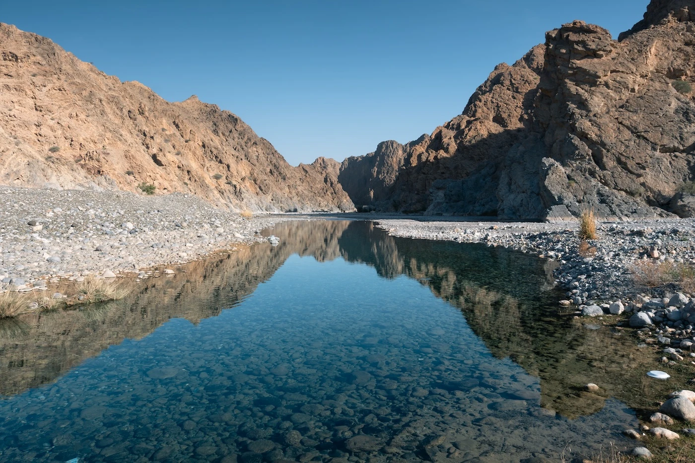
I’d been in Latin America for about six months and was so *unreasonably* fed up with churches and zocalos. It’s not that there’s anything wrong with them (although all that graphic Catholic imagery does give me palpitations), but I just needed to refresh my burnt-out brain.
I thought to myself – what can I do that is the polar opposite of my current situation?
Well, it turns out the answer to that was an unplanned trip to Oman, with very little money and my favourite orange tent. It was one of the most refreshing decisions I’ve ever made.
Wild camping in Oman is a cultural institution and a fabulous way to have an immense outdoor adventure on a budget (in a country that is not exactly know for being affordable). From the prickly Hajar Mountains, extraordinarily dramatic coastlines of the south, omni-present sandy dunes, secret canyon wadis; Oman provides a diverse array of free, solitary camping in, what we have quickly come to realise is, one of the most beautiful countries on Earth.
After our three months traipsing across Oman, here is the definitive list of our 17 absolute favourite places we’ve wild camped, including their GPS coordinates. For general suggestions on how to find a campsite, camping rules, tips, and recommendations, check out our detailed guide to camping in Oman.

IN THIS GUIDE //
Wild Camping Across Oman
About Wild Camping in Oman
– Wild Camp Facilities
– Weather and Wadis
– Wild Camping Safety
– Getting Around
Wild Campsites in Oman: Map
Best Camp Sites in the Western Hajar Mountains
Best Camp Sites in the Eastern Hajar Mountains
Best Camp Sites on Oman’s Central Coast
Best Camp Sites in Dhofar
Wild Campsite Locations: Google Map
Where to Next?
This post may contain affiliate links. If you book through these links we may make a small commission at zero cost to you. It helps us pay for the upkeep of this blog. Thank you!
About Wild Camping in Oman
A few quick things to note about wild camping in Oman:
Costs: camping is free, we’ve never paid to set up our tent somewhere
Culture: it’s a totally normal practice for multi-generational families, friends, kids; basically everyone.
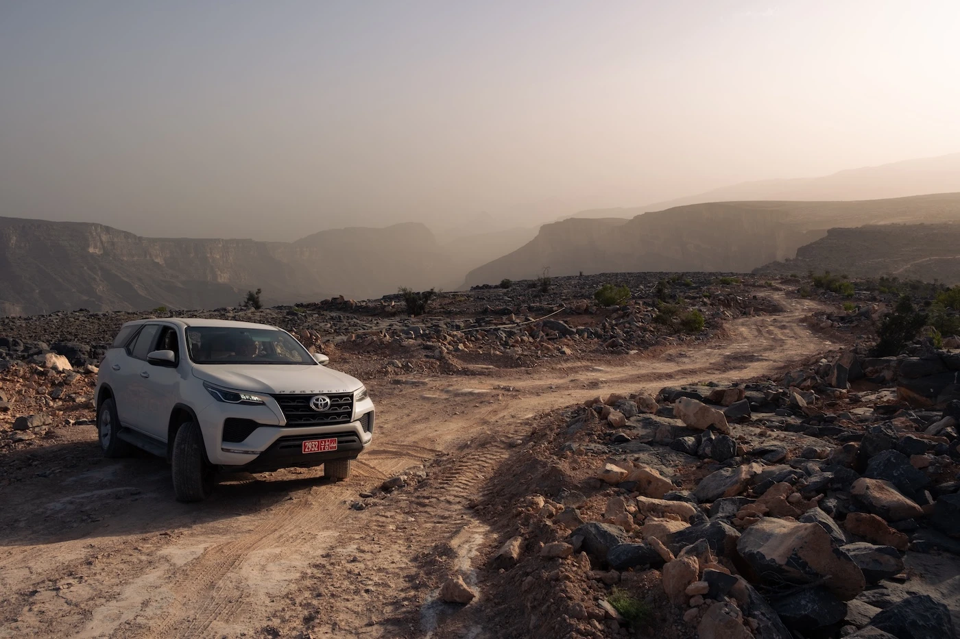
Vehicle: a rental car is required for access to all the camp spots mentioned below. Some are accessible by a two-wheel drive and others by a four-wheel drive, high-clearance vehicle. We’ve noted by every camp spot entry below what car is necessary.
Wild Campsite Facilities
Oman does not have any designated campgrounds, outside of Muscat. This means that there are no campsite bathrooms, showers, potable water points, fire pits or tent pads.
So, any campsite you choose will have to be self-sufficient. Bring adequate equipment, including:
⬩ a bowel-trowel
⬩ toilet roll
⬩ bucket
⬩ a surplus of drinking and cooking water
⬩ all food and snacks
⬩ fire wood
and much more.
Weather and Wadis
Wild camping in Oman is, for the most part, drama free. However, one difficulty that may arise is the weather.
Winter: for most campsites, the best time to visit is winter. Some of the higher mountain spots, like Jebel Shams and Jebel Akhdar, will be very cold and windy though, so bring three-season camping gear.
Summer: summers in Oman can be brutally hot, so the only comfortable places to camp are at the tops of the mountains, like Jebel Shams, Jebel Akhdar and Jebel Hatt (your 2WD option).
Wild Camping Safety
Oman is a safe country to camp in.
Camping is a cultural tradition and a common occurrence across the country. We camped for two months across Oman and didn’t have any safety issues or concerns. The only wildlife hazard to be aware of is goats – they will eat your stuff!
Another nominal risk is your vehicle breaking down in an area without cell reception. We found many of Oman’s campsites to have little signal, if at all. Download offline maps and tell someone where you are heading.
Getting Around
You’ll need a rental car to reach almost any location in Oman that is appropriate for wild camping (you can’t camp in Muscat). Hitch hiking is okay for getting around, but it would be unwise to do this and camp (purely because a lot of places are so remote, you may not find a lift for a few days!).
Driving in Oman is super easy and the main roads are excellent. We’d recommend getting as rugged a rental car as you can afford so you can reach the best spots. However, even if you’re in a low-clearance sedan, you can wild camp across the country without an issue.
We rent all our cars in Oman through Discover Cars, because we love the insurance they provide. It pays out super fast after somebody backs into your car or you literally wedge your car down an unreasonably narrow Sicilian street (I am a victim of my own optimism and, yes, both these things happened, amongst others!).
Wild Camp Spots in Oman Map
Below is an artistic rendition map showing where the best campsites are clustered across Oman. At the bottom of this page, we’ve also included a Google map that you can save with all the actual camp location GPS markers on it.
We’ve split our list of campsites into four regions to help you plan your trip:
1. Western Hajar Mountains (near Nizwa and Muscat)
2. Eastern Hajar Mountains (between Muscat and Sur)
3. Central coast (Masirah Island, Duqm and middle of nowhere)
4. Dhofar (around Salalah)


We’ve always found the best car rental prices for Oman on DiscoverCars. It’s our go-to car comparison website for every road trip because they have such good insurance. You can save loads of money and get great-priced comprehensive coverage.
Best Camp Spots in the Western Hajar Mountains
1. Wadi As Sahtan
This location in the western Hajar Mountains is our favourite wild campsite in Oman.
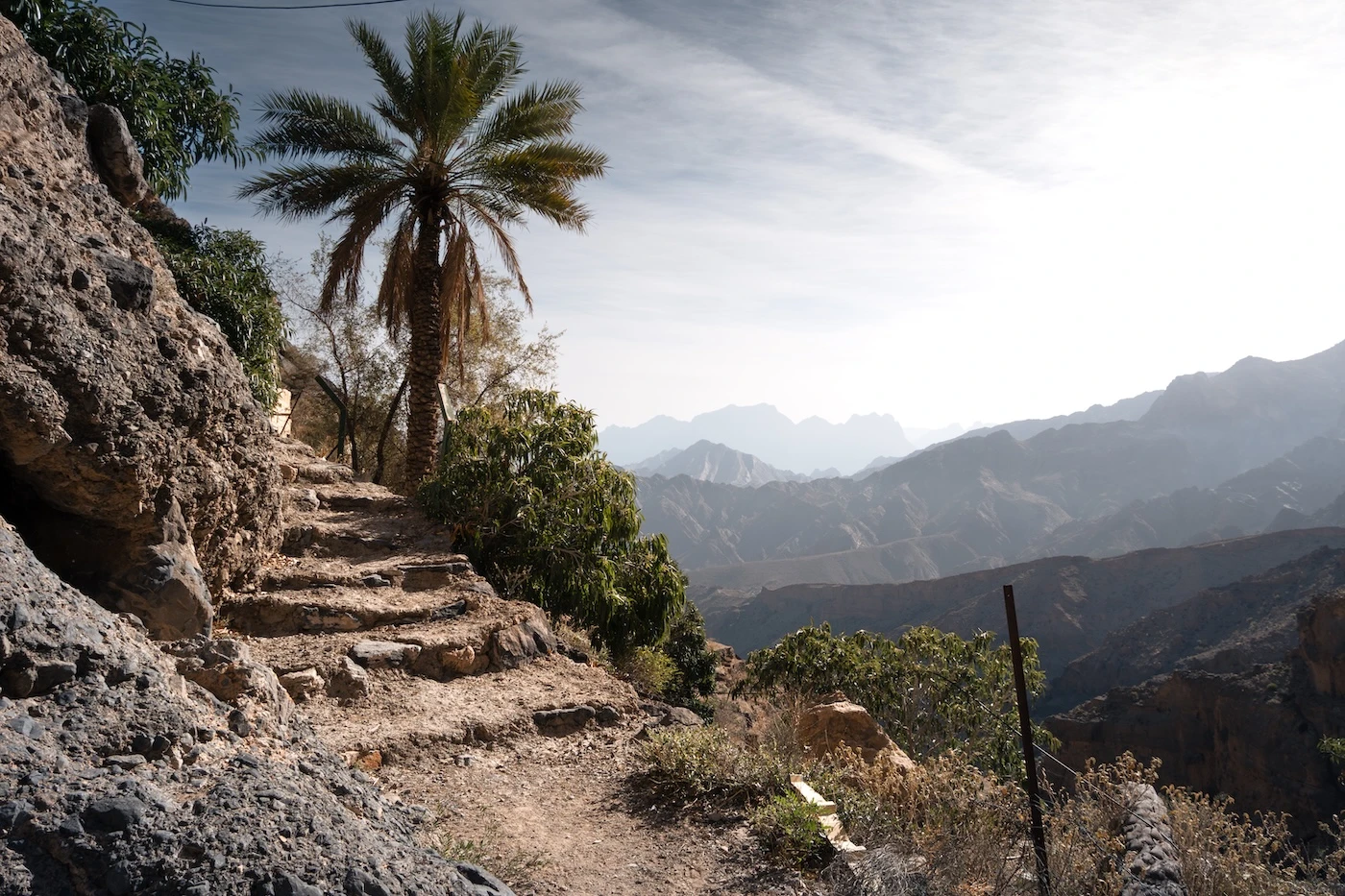
Up on rolling hills, surrounded by the highest mountains in Oman (including the impressive peak of Jebel Shams), this was the Omani landscape that I was romantically chasing in my mind. With only a man and his goats for company (for five minutes), we spent the evening watching the sun set against the magnificent mountain scenery.
Campsite Location: Wadi As Sahtan
This campsite is on a dirt track, off the ‘main’ road towards Little Snake Canyon. You can pretty much choose any camp spot, as far into the mountains as you want to travel.
The further up the hills you drive, the more epic the views get.
GPS coordinates: 23.270940, 57.361442

2. Jebel Shams
A night on the canyon rim of Jebel Shams is an absolute must if you are considering a camping trip to Oman.
As the tallest mountain in the country, the views are unbeatable and watching the sun cast a glow across the ‘Grand Canyon of Arabia’ at sunrise is an extraordinary experience.
Campsite Location: Jebel Shams
Anywhere along the canyon ridge past the Jebel Shams resort is perfect for wild camping. Small tracks lead off either side of the main, unpaved road and anywhere along these is fair game. The rim of the canyon has the best views, but some of the sites here can be a little rocky and windy, so watch out for your tent. There are lots of spots to choose from, although as a well-known site, it can get busy.
The best wild campsite at Jebel Shams, in our opinion, is detailed in our specific guide to camping in Jebel Shams.
GPS coordinates: 23.206645, 57.203446

3. Wadi Damm
The fairy tale Wadi Damm pools are a highlight of any Oman itinerary and one of the most enchanting wadis.
Very convenient, accessible camping just above the wadi valley allows easy access to the hike and means you can get started early in the morning. This is probably one of the less visually remarkable campsites on this list but is easily made up for by how stunning Wadi Damm’s pools are!
Campsite Location: Wadi Damm
An unpaved path, snaking along the southern edge of Wadi Damm, leads to a flat, comfortable area commonly used by campers (although it was empty when we stayed there). It’s a short drive away from the beginning of the Wadi Damm Pools hike. You can also camp in the actual entrance to the wadi, however this has some trash and people occasionally pass through (you will be continuously invited for coffee).
Also, as always, be careful camping in wadis if there is rain forecast.
GPS coordinates: 23.233207, 57.091369

CAR HIRE FOR YOUR OMAN WILD CAMPING TRIP
We always rent our vehicles all over the world, including our recent trips in Oman, Saudi Arabia, Tunisia and Morocco, with Discover Cars. They’re often the most affordable, plus they paid out immediately on an insurance claim we made when our car took some heavy damage in Sicily. We fully recommend them.
–
TAKE A LOOK BELOW OR CHECK CAR RENTAL
4. Above Al Hijir, Between Wadi Bani Kharus and Wadi Bani Awf
Sat high above a small village, surrounded by a narrow slither of magnificent, rugged mountains, this lofty spot was our second favourite wild camping location in Oman.
We silently perched on the rocky cliff, listening to the Friday evening call to prayer echo through the basin, and I realised that this was one of my all-time most memorable moments.
This area is pretty remote (no cars passed by on the road for the entire night) but is actually well located if you want to hike Little Snake Canyon, any of the many hiking routes in the region, or explore Wadi Bani Kharus and Wadi Bani Awf.
Campsite Location: Above Al Hijir
There are a few outstanding wild camping spots here; we found it difficult to choose. One specific location near the road on a cliff edge was beautiful. Another was in a small valley surrounded by tall mountains; another down some isolated tracks under shady trees. We have put the coordinates for all three so you can choose your favourite.
Also, there were a few camel skulls around!
GPS coordinates: 23.207395, 57.481156; 23.210589, 57.474204; 23.206493, 57.479605

5. Near Big Snake Canyon in Wadi Bani Awf
This campsite is smack bang in the middle of Wadi Bani Awf, arguably the most spectacular area in the western Hajar Mountains.
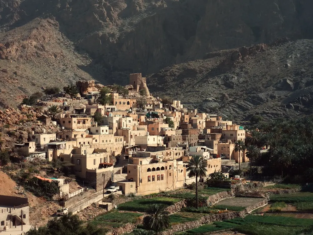
The precipitous, vertigo-inducing mountain tracks in this area are some of the most outrageous in Oman, with crazy roads and mad vistas from all sides. Big Snake Canyon, a favourite for canyoneering, is literally adjacent to this wild campsite and Bilad Sayt, one of the most picturesque villages in Oman, is around the corner.
Campsite Location: Near Big Snake Canyon
Set back off the road at the bottom of a narrow valley under shady trees, there are lots of little wild camp spots to set up at for the night.
Although not the most private, the area is ideal for accessing all that Wadi Bani Awf has to offer, and there’s even a little hotel just down the road if you want to skip the camp cooking for an evening! We think it’s a really pretty area with all the trees and huge sheer mountain cliffs. It’s all very civil.
GPS coordinates: 23.209656, 57.382344
6. Wadi Al Abyad
Aptly named, this narrow little valley with year-round flowing water and pretty bright blue-white pools is a great option for some river driving and hiking (Al Abyad means ‘white‘ in Arabic).
The camping options are secluded and peaceful, while also conveniently placed between Nakhal (for Nakhal Fort) and Rustaq (for Rustaq Fort and a Lulu Hypermarket). This wadi was also particularly great for spotting the brightly-coloured red dragon flies in spring time.
It’s a nice introduction to driving in shallow rivers, too, if you’ve never done that before (although it depends on recent rainfall and time of year – it has been entirely dry when we’ve visited and rushing rivers the next).
Campsite Location: Wadi Al Abyad
There are two options; the north or the south part of the wadi. Chunky rocks in the river will stop you passing halfway through the valley, so you’ll have to enter via both the north and south to see the entire length. Both ends have pretty wild campsites, although our personal preference was the northern end.
GPS coordinates: 23.444647, 57.656041 (north part of the wadi), 23.420081, 57.672663 (southern side).

GOT MORE TIME IN OMAN?
Explore some wadis:
Take a look at our 13 favourite wadis
Hike Oman’s favourite Wadi Shab
Live in a fairytale at the Wadi Damm pools
Drive through rivers in Wadi Dayqah
Explore the quirky white pools of Wadi Abyad
or the magnificent waterfalls of Wadi Darbat
Explore the cities and mountains:
Feel intrepid on an Oman offroad mountains itinerary
Discover what dramatic means with this Salalah itinerary
See some offbeat spots around Sur
Explore Oman’s cultural heart in Nizwa
Prepare with our Oman driving guide
Max out your time with these Muscat day trips
–
Best Camp Spots in the Eastern Hajar Mountains
7. Yiti Beach and Yenkit
Yiti Beach, just to the east of Muscat, was one of the closest places to the city that you could camp by the sea (which means it used to get justifiably busy with residents). However, the beach has been commandeered by a certain mouldy scrotum-of-a-U.S. president’s real estate company and there’s no legal access anymore, even for Omanis.
So, access was restricted to Yiti Beach, but you could still travel on the cliffs above that were still beautiful. However, that now has a load of development on it, too.
So, we’re left with Yenkit – which luckily is the most beautiful bit of them all and no developer has got its hands on it (yet).
Campsite Location: Yenkit
Between Yiti Beach and Yenkit are loads of tracks that run towards the sea. We would suggest you just drive up to explore and pick your favourite spot. Some locations have amazing views of the ocean, but be careful not to go down a road you cannot get back up – the tracks are fairly rough in places.
Towards the east, in the Yenkit direction, are some of the most spectacular coastline views in the entire of Oman.
GPS coordinates: 23.525972, 58.703341

8. Wadi Dayqah
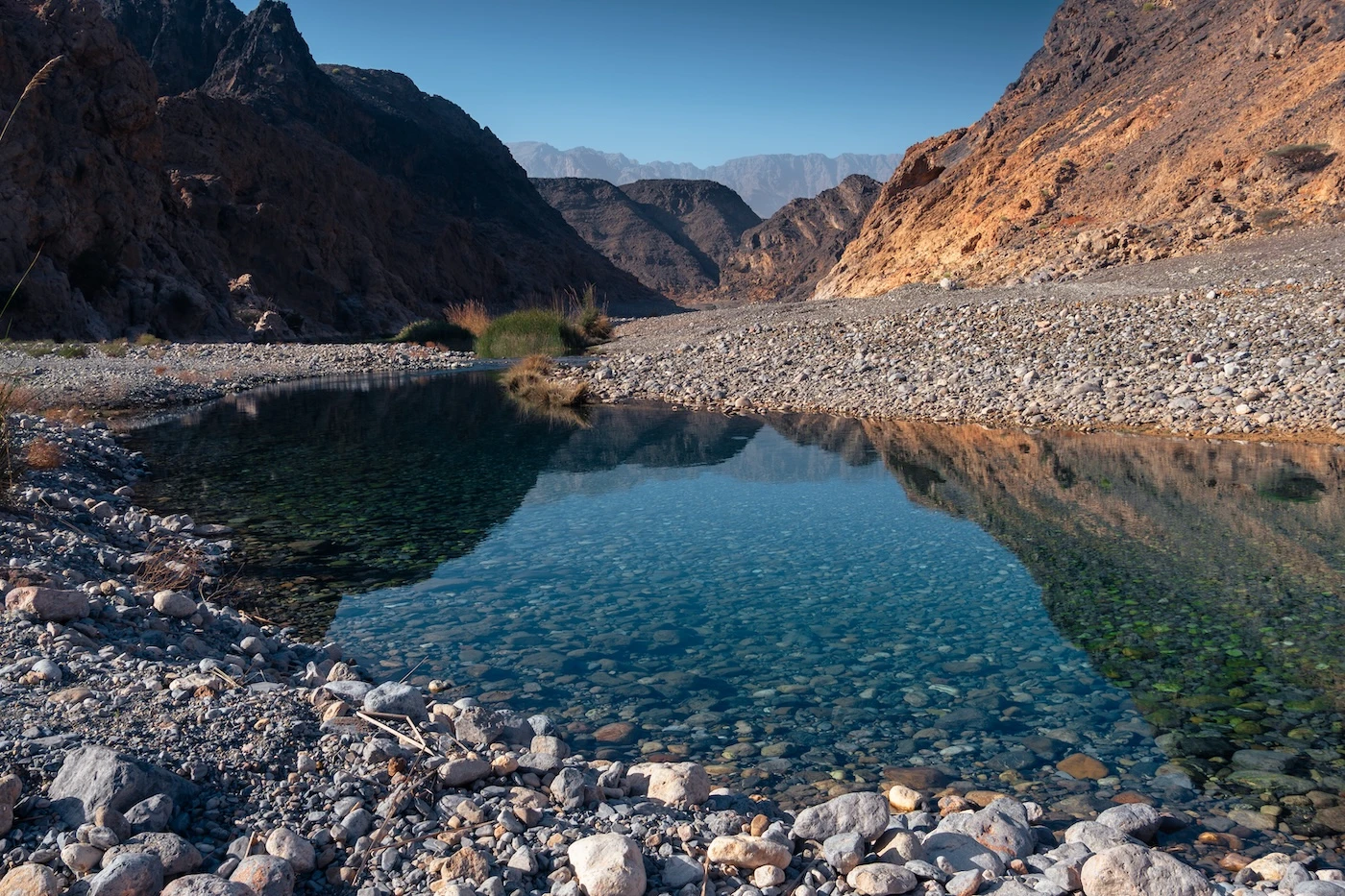
Between Wadi Al Arbeieen/Arbiyyin and the bright emerald lake at Wadi Dayqah, created by Oman’s largest dam, is this magnificent campsite area in the eastern Hajar Mountains. The track leading through the wadi valley is stunning, passing bright blue pools nestled under high cliff edges.
Campsite Location: Wadi Dayqah
Above the wadi valley, this campsite has panoramic views of the sun setting over the tips of the jagged mountains. Nestled under savannah-like trees up against a shaley hill, this area is right up there on our ‘best Oman campsite vistas‘ list.
The ground is flat and smooth with masses of space, so even if someone else was camping nearby, you wouldn’t notice them. There was nobody around for any of the nights we camped, though.
GPS coordinates: 23.095097, 58.914642

9. Fins
Within easy driving distance of Muscat and Sur, Fins is a popular oceanfront location for wild campers. Full of sea cliffs and little beachy coves, the area has magnificently vivid blue seas where you can spot turtles and dolphins right offshore. There is ample space for everyone, even on a weekend, so you’ll never have a lot of neighbours, and the backdrop of the towering Hajar Mountains dominates the skyline.
Campsite Location: Fins
South of the town, there are numerous stunning spots all along the coast. We stayed several times around the coordinates below, but there are honestly so many good places! Camping at Fins is also a perfect location for combining with a hike to Wadi Shab which is just ten minutes south. Be aware, it can sometimes be quite windy here.
GPS Coordinates: 22.876232, 59.230173; 22.882761, 59.226109

10. Jaylah Beehive Tombs
Hidden on a vast plateau in the eastern Hajar Mountains are the mysterious beehive tombs at Jaylah.
This area has exceptional camping opportunities combined with some 4000-year-old tombs (not a common combo). Sleeping in a tent adjacent to what feels like an undiscovered archaeological site is something very Indiana Jones-esque! With between 60 to 90 tombs dotted across the area, there are loads of wild camp locations to choose from, too.
Campsite Location: Jaylah Beehive Tombs
It depends on how far up you want to drive, but there are so many wild camp options.
Most have clean, wide flat spaces to pitch a tent in the shadow of these magnificent burial sites, right on the cliff edge with vast, sprawling views of the mountains. The area is on a high plateau, so will be cooler than down by the coast.
GPS coordinates: 22.807025, 59.069402

Best Camp Spots on Oman’s Central Coast
11. Masirah Island
Masirah Island made our top campsites list from its sheer number of incredible beach camping locations.
At 95 kilometres long, much of the coast is beautiful soft white sand which this provides a huge number of scenic spots to choose from. The water, especially on the west, is shallow, turquoise, and transparent; you can see all the ghost crabs scuttling along the seabed.
A running theme in this wild camping post is how few people are around and this idyllic little island is no exception. Throughout the three days we spent on Masirah Island, we saw nobody outside of the main town (apart from some fishermen offshore).
Camp Locations: Masirah Island
There are too many to choose from, however a couple of amazing locations stand out. The best option is to drive around and choose your favourite for yourself, though – it’s a dream setting for Omani beach camping! Have an explore of the areas surrounding the GPS points below.
At the second coordinate, we camped up on the hill behind the beach and could watch both sunrise and sunset from our camp.
GPS coordinates: 20.166740, 58.641390; 20.359356, 58.649381

12. The Sugar Dunes
The Sugar Dunes are a fantastic option for an independently-accessed sand dunes campsite in Oman that is easy(ish) to reach, with stunning views and no people. With powdery white sand right on the edge of the ocean, an Omani wild camping experience here doesn’t really get much better.
It’s much more affordable and easier than the Wahiba Sands alternative, plus you get sea views from your room!
Campsite Location: the Sugar Dunes
Getting to the Sugar Dunes is all part of the fun. Once you arrive, there are obvious, easy places to camp by the beach if you are uncomfortable driving into the actual dunes. Check out our detailed guide to camping in the Sugar Dunes for more information.
GPS coordinate: 20.391582, 57.944746

13. Ras Madrakah Beach
This is a special place to camp in Oman.
It’s very remote, situated on a peninsula about halfway down the Omani coast, with only a small town in the nearby vicinity. The wide, flat beach is made of flawless white powder and has minimal-ish trash issues. It was a spectacular, windswept, almost feral-feeling wild camp location and is a great stop either on the way up or down the long coastal drive between Muscat and Salalah.
Campsite Location: Ras Madrakah Beach
There are several wild camp options on Ras Madrakah. You can camp anywhere along the wide main beach, as far as you are willing to drive in the sand east or west. Alternatively, there is a small bay to the east of the town which is magnificent and more sheltered with beautiful dark rocks.
GPS Coordinates: 18.981258, 57.810897; 18.979902, 57.809155

GOT EVEN MORE TIME IN OMAN?
Go camping:
Plan your trip with our Oman camping guide
Camp atop Oman’s highest mountain
or camp in the palest of Oman’s deserts at the Sugar Dunes
or have a totally unique adventure:
Spot the most remote beehive tombs in Oman
Wander around Oman’s most photogenic fort
Learn about livestock at the Nizwa goat market
Take a look around Oman’s most unique fortification
Take a chill day on one of Muscat’s beaches
–
Best Camp Spots in Dhofar
14. Miji
This is the most inaccessible, rogue spot that we wild camped at over our months of camping, and was also one of our favourites (although I was terrified that we wouldn’t be able to get out!).
It offers complete solitude, an entire stretch of white sandy beach in a craggy cove all to yourself and a campsite right alongside. As the most remote place we have suggested on this list, Miji is many hours from the nearest large town in southern or central Oman, so plan well ahead for this one. Having said that, it is worth the effort.
Campsite Location: Miji
This beach is down a seriously rough track – I honestly had a few doubts that we’d actually make it, even in our chunky four-wheel drive. There are a few options for where to camp, the coordinates below provide two choices. The drive is a dead-end road, so be aware that whatever horrendous track you drive across, you must drive back out!
Alternatively, for an easier drive, you can camp nearer the main road (third coordinate below). It’s a great little spot on the empty south-eastern coast of Oman and breaks a long drive up well.
GPS coordinates: 17.926942, 56.117244; 17.927290, 56.113732, 17.928018, 56.143057


15. Wadi Al Nakheel
This site, a little north of Hasik in southern Oman, is a stunning wadi with clear blue waters right off the main 42 route towards Salalah. It looks more like a river than other traditional wadi pools and is surrounded by glowing orange cliffs and date palms. There are perfect spaces to camp right along the wadi pool edge. This region is a great for a break on the way to or from Salalah along the lengthy coastal route.
Campsite Location: Wadi Al Nakheel
There are options to camp on either side of the wadi, so have a look on both the left and right sides to find your perfect spot. We camped twice in the date palms on the southern edge of the water.
GPS coordinates 17.598453, 55.251093


16. Wadi Darbat
I didn’t really appreciate the vastness of Wadi Darbat before we arrived.
Honestly, I thought it was going to all be a bit touristy and not really a vibe but, instead, I was immediately mind-blown by the scenery. Camping here swiftly became a very enticing prospect and since then, I’ve camped in Darbat a few times. There are various suitable spots all over the wide upper wadi plateau and hanging out by the crazy azure-green waters have been some of our favourite Omani days.
Campsite Location: Wadi Darbat
You could set up camp pretty much anywhere, but our favourite was a spot right near the edge of the Travertine Curtain, near the top of the main waterfall. A night spent surrounded by the blue-green waters and the roaring waterfall was epic!
GPS coordinates: 17.078169, 54.436312

17. Fazayah Beaches
Our favourite beach camp!
We are not the most beachy of people, however the scenery at Fazayah won us over immediately. A little west of Salalah on the southern coast of Oman, these three connected beaches with lovely white curved stretches of sand and the impressive backdrop of the massive Dhofar mountains are just epic.
The area normally has other campers around the three beaches, however there’s space and with so many options, you never have to camp within eyesight of somebody else.
Campsite Location: Fazayah Beaches
We love our solitude, so chose a campsite right at the end, well past Fazayah Beach 3 (GPS point below). We had the most amazing views of a fourth beach, loads of hills to climb and possibly the best sunrise view we have ever witnessed. Our second camp in Fazayah was on the north end of Fazayah Beach 2 which was a little more open, but still magnificent.
If you want to camp closer to the actual sand, there are loads of obvious spots to choose on any of the three beaches in the area. Check them out on Google Satellite.
GPS coordinate: 16.816096, 53.690780, 16.834093, 53.713808

Wild Camp Spots: Google Map
Below is a savable Google Map showing all the GPS coordinates for the wild campsite locations listed above.
Green: Western Hajar Mountains
Orange: Eastern Hajar Mountains
Blue: Central coast
Purple: Dhofar/Salalah
To save the map, select the star next to the title.
RESPONSIBLE CAMPING: LEAVE NO TRACE
Oman has a trash problem.
This is especially prevalent along the coastline and beaches, but also in popular camping spots like Jebel Shams. It’s not trash that has washed up from other sources, but rather left there by previous campers, residents and visitors.
We can’t police how Omani people choose to treat their lands, but we can ensure not to add to the issue.
Bring a bag or two and pick up some trash – always leave your campsite cleaner than when you arrived.
Follow leave no trace principles, always.
–
Has OUR FREE CONTENT HELPED YOU PLAN A CAMPING TRIP TO OMAN?
If you’ve found our content helpful, consider booking your rental car (if you need one!), through the company we always use – Discover Cars. They’re the absolute best and have been our rental companion (and savior, thanks to their insurance) in many destinations across the world.
Also, consider booking any accommodation through Booking.com – we use them exclusively when travelling in the Middle East.
Alternatively, leave us a tip to say thank you.
Help like this makes it easier to pay for the upkeep of this site and ensures our small business survives the onslaught of AI!
Thanks for reading.
–
Where to Next?
We’ve struggled enormously to narrow down our favourite Omani wild camp spots.
Wild camping in Oman felt, to me, like a voyage from an 80s adventure film into some uncharted wilderness (although this is obviously not the case in reality) and every location we list here was some of the most exciting camping we have ever done.
The map provided could also serve as a type of Oman camping itinerary, too, as these sites effectively link Muscat and northern Oman to Salalah in the south.
For more information on driving in Oman, definitely check our our driving guide that contains everything we could think of to make sure you’re prepared as possible to drive around the country!
We hope our suggestions help you plan a fantastic wild camping trip to Oman, happy travels!
Hi, thanks for visiting our blog! If this post has been of help to you, or you’ve just enjoyed our random ramblings and musings, say thank you by buying us a coffee! It helps keep The Restless Beans blog up and running.
Thank you, Claire + Nick




Hi! Love your blog and is so helpful during our roadtrip through Oman!
Just wanted to inform you on an update about the camping spots between Yitti and Yenkit, as we had to drive around for a while due to the closings of some roads, so that the next one doesn’t have to 🙂
Yitti beach is no longer accessible due to a Trump resort having taken full access of the entry as well as the beach. Moreover, the offroad entries to the cliffs on the way to Yenkit are all (or – the ones that we tries at least, the ones leading to the coordinates on this blog) closed due to the construction and new ownership of resorts.
Sad to see that this beauty is ruined by big internationals, but ofcourse there’s still enough beauty in the rest of Oman!
Hope this helps a next one!